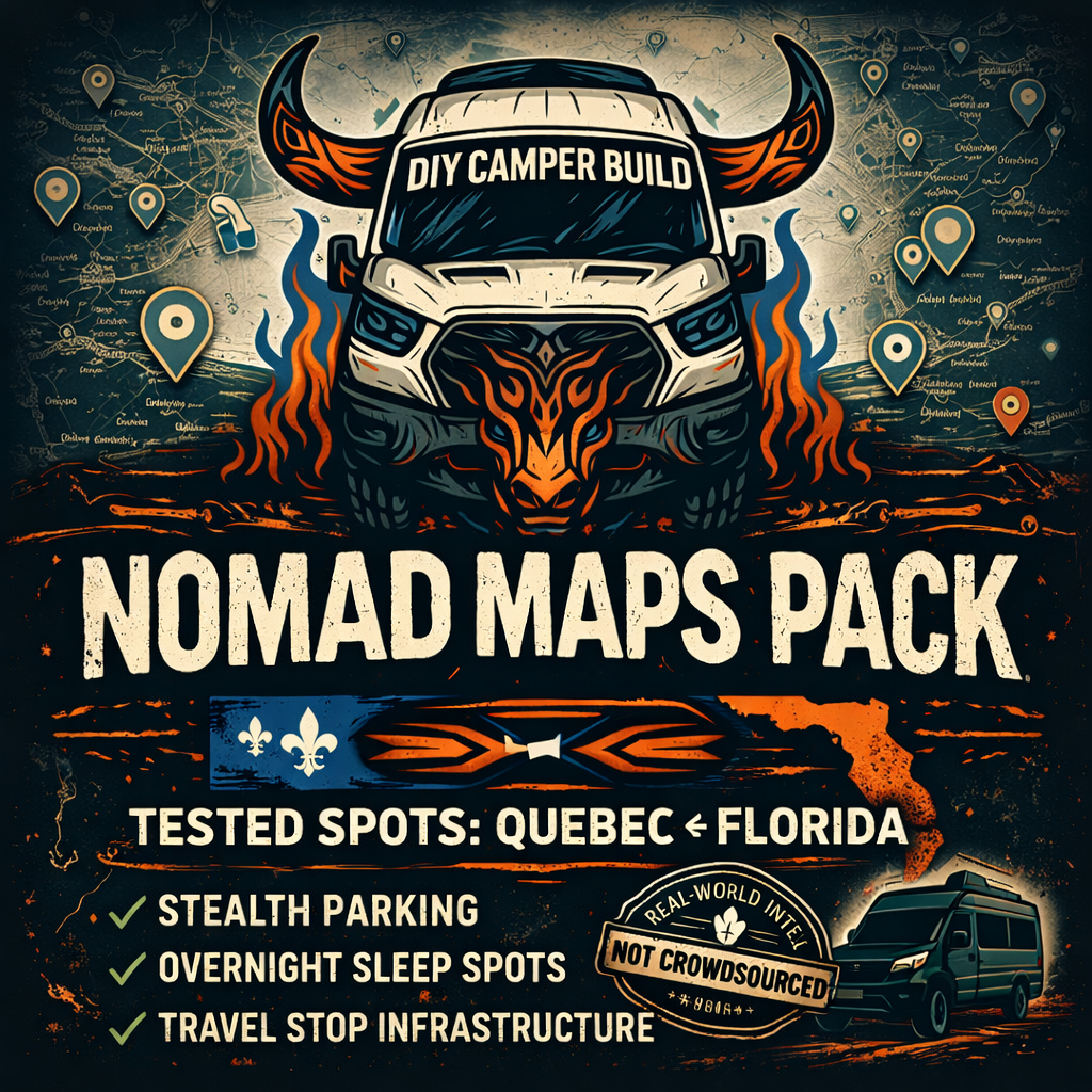
Most map lists online are crowdsourced, outdated, or optimized for content — not for actual living out of a van. This one is different. It comes from years of stealth parking, long-haul corridors, and figuring out how to move between provinces, states, and climate zones without friction.
Inside is my personal travel network from Quebec down to Florida: daytime spots to work, quiet nighttime sleep spots, travel hubs, truck stops, water fills, laundromats, gyms, groceries, parks, and practical infrastructure for real nomad living. It’s built around stealth efficiency, low cost, and consistency — not tourism.
It’s a living asset. Every season I update the map as I discover new spots, close out old ones, and refine the best corridors. You don’t just get a map — you get access to the evolving intel behind DIY Camper Build.
Feature & Benefit Bullets
What’s Included
✔ Quebec ↔ Florida travel corridor
✔ Daytime work/parking spots
✔ Nighttime/stealth sleep spots
✔ Truck/travel stop infrastructure
✔ Rest stops & long-haul breaks
✔ Gyms + showers + laundromats
✔ Parks + quiet refuge zones
✔ Food & grocery logistics
✔ Water refill opportunities (where applicable)
✔ Solar-friendly daytime spots (sun exposure / no restrictions)
✔ Low-profile stealth options (dense population areas)
Benefits
→ Saves time and cognitive load
→ Reduces scouting guesswork
→ Increases safety & predictability
→ Lowers travel costs
→ Makes stealth travel smoother
→ Helps plan seasons (e.g., winter south)
→ Reduces trial-and-error & backtracking
What Makes It Different (USP)
-
Not crowdsourced — 100% curated
-
Not tourist-optimized — stealth-optimized
-
Not static — updates as I travel
-
Quebec ↔ Florida corridor focus (rare)
-
Built for real nomad infrastructure
Format & Delivery
You’ll receive:
-
Access to a collection of private Google Maps lists
-
Automatic updates for as long as the product (and I) exists
-
Categorized pins (day/night/gym/travel/etc.)
FAQ
Q: How often do you update the map?
Whenever I travel, test new spots, or refine existing ones. Historically monthly-ish during active travel seasons.
Q: Is this crowdsourced?
No — everything on the map is directly tested.
Q: Will my purchase include future updates?
Yes, all updates are included.
Q: What regions are currently covered?
Primarily Quebec and Florida with a reinforced travel corridor between the two.
Q: Can I request spots?
Yes, but only if they are in Quebec/Ontario and Florida. I will add more regions as I travel further.
Q: Does this include camping/campgrounds?
Mostly stealth, free, low-profile urban/suburban + infrastructure. Minimal campgrounds.
Q: Is this useful for RVs?
Yes for travel infrastructure. Stealth spots vary depending on rig size/visibility.